MH1000 - Overview
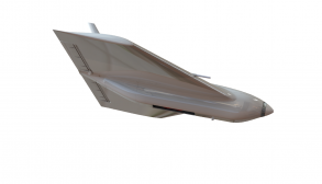
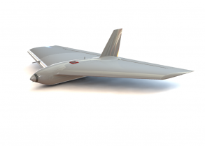
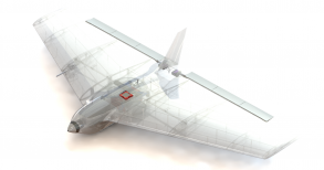
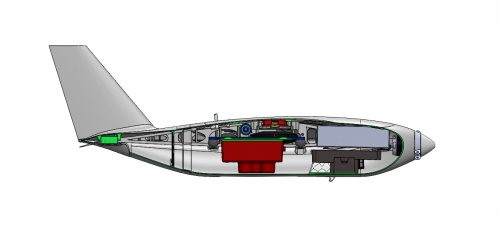
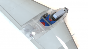
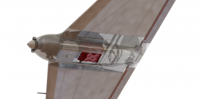
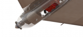
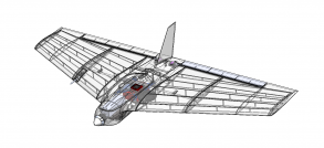
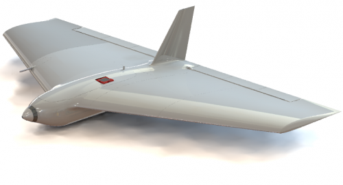
The MH1000 Remotely Piloted Aircraft System is a multifunctional fixed-wing vehicle entirely designed and prototyped by MAVTech team. The model has been designed primarily for carrying out reconnaissance, surveying and territorial surveillance missions. Thanks to its integrated wing-body configuration, its load capacity is suitable for the integration of specific sensors for surveying, such as the Micasense Rededge-MX multispectral camera.
The vehicle is characterised by a compact design and adequate aerodynamic efficiency; structural components are optimised and light, stall is not critical. Furthermore, the model is stable and does not show any tendency to autorotate or spin. This version is optimised for the take-off mode with a bungee launch system, in order to guarantee safety and ease of launch. The strengths of the MH1000 are:
- Aerodynamic efficiency
- Sensors integration and payload bay capability optimization
- Rapid prototyping
- Improved flight performances, mission range and endurance.
MH1000 - Sensors
The MH1000 vehicle has been designed and optimised for the on-board integration of the Micasense RedEdge-M multispectral sensor, but its load capacity also allows other systems of comparable size and weight to be taken on board. Moreover, on board is mounted a flight control system (Pixhawk 2 autopilot) that provides automatic management of stability, piloting and navigation. This allows flight parameters to be consulted during operations, or in subsequent phases, and different types of mission to be planned depending on the integrated system and the application.
The main compatible sensors are, for example:
- Micasense RedEdge-M + DLS
- Micasense RedEdge-MX + DLS2
- Micasense Altum.
For the integration of other systems or for installations with different configurations, we evaluate custom solutions, depending on the specific application.
MH1000 - Applications
The advantages of using a fixed-wing RPAS platform are mainly versatility in application and reduction of costs and risks of operation. The vehicle has been designed for the following applications:
- Territorial mapping
- Aerial photography
- Monitoring and surveillance
- Long-range aerial surveys
- Survey accuracy and precision at high flight altitudes.
MH1000 - Experimental activities and flight tests
- Flight parameters tuning
- Performance check (max cruise speed, endurance, operational limitations)
- Automatic flight
- Payload integration
- Territorial monitoring
- Sensor data acquisition

