Flight demonstration and data processing with HYRMA UNIBZ students
INTRODUCTION
- Drones:
- Sensors:
- Micasense RedEdge M
- LiDAR Yellowscan
- Sony RX100
- Radiocontrollers:
DESCRIPTION
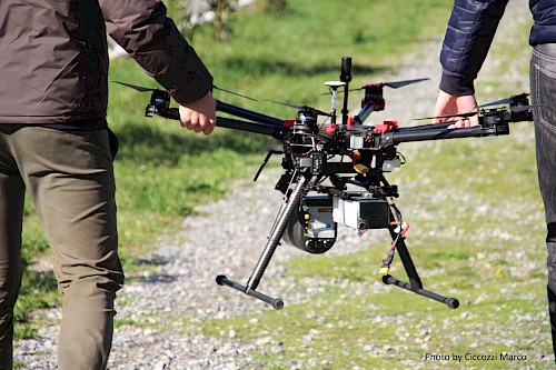
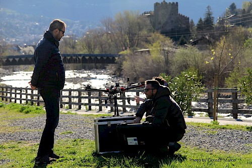
On Friday 29 and Saturday 30 March 2019, the MAVTech team went to the Adige river in Lagundo (BZ) together with the students of the master "Sustainable Management of Geo-hydrological Risk in Mountain Environments " (HYRMA) of the Free University of Bolzano, coordinated by prof. Righetti of the Faculty of Science and Technology. For the students a demonstration session of drone use and specific instrumentation (i.e. multispectral sensor, LiDAR) was carried out within the WEQUAL project.
In particular, on Friday afternoon flight missions were carried out for data acquisition with multispectral camera and LiDAR sensor mounted on MAVTech multi-rotors. Instead, on Saturday morning, the group of students went to the classroom together with the engineer Ristorto (MAVTech) for the lesson dedicated to pre-processing and the processing of the data acquired the previous day.

